

Local Weather and Outdoor Reports
INFORMATION UPDATES EVERY TEN MINUTES
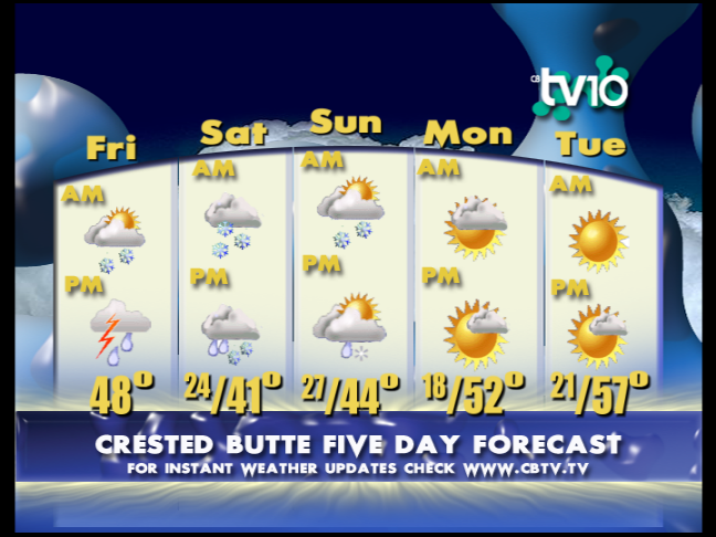
CB 5 Day Forecast
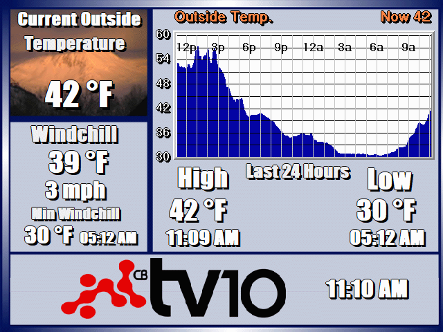
CB TEMPERATURE: 24HR
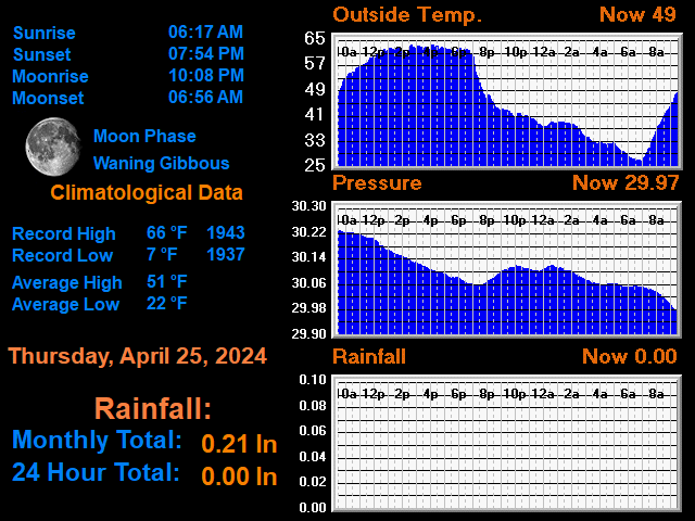
CLIMATOLOGICAL DATA
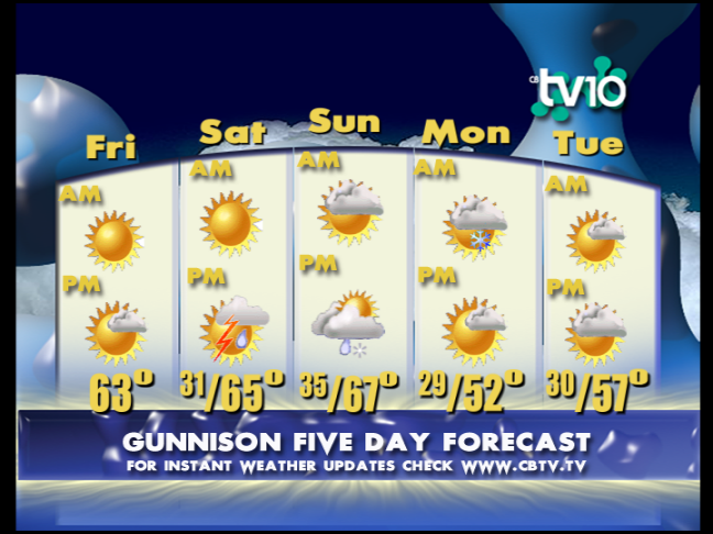
Gunni 5 Day Forecast
CB WIND: 12HR

GENERAL DATA
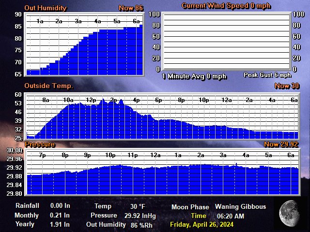
FORECAST
10/10: Here comes Rachael.
TV10 Crested Butte and Gunnison Valley Daily Weather Update- For 10/10: We have seen the pattern transition to the southwest and radar and regional satellite imagery show moisture headed our way. Look for it to be mixed sun and scattered showers early with gusting winds keeping it moving quickly. All the components are in play for stronger windy cells with small hail which will become more consistent rain into tonight so get out early but be prepared.
Temperatures: Lows for CB dropped to 30 and 36 for Gunnison. Highs will be cooler at 56 for CB and 64 for Gunni. Lows tonight will be warmer with the clouds.
Outlook: The tropical remnants of Rachael will dominate our weather through Sunday and into Monday with heavy moisture moving through from southwest to northeast. This will be mostly stratiform showers moving slowly capable of periods of heavy rain and high gusting winds that will definitely take down a lot of the leaves. We will get a dry gap for a bit Monday but a second low pressure trough will build in quickly feeding us a very different and colder wave for Tuesday night and beyond with snow possible down to 8000ft and likely sticking above 10,000ft.
*Please note that the web cams below are not operated by CBTV and the consistency with which they refresh is beyond our control.
WEB CAMS
WHETSTONE MTN.
ADAPTIVE SPORTS CENTER
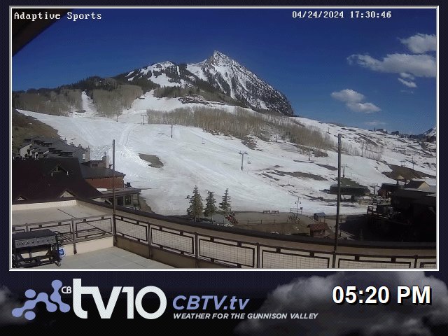
WHETSTONE 2
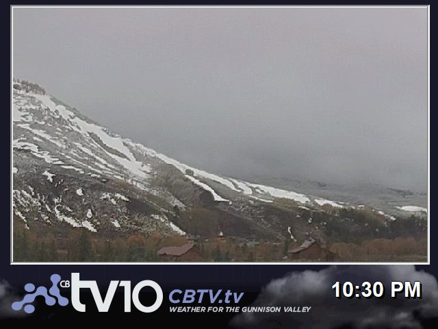
BLACK CANYON NP

ELK CREEK BLUE MESA

BC GRIZZLY RIDGE

CB RTE 135 NORTH

ALMONT RT135
GUNNISON US50 WEST

POWCAM
US50 26rd BLUE MESA

MONARCH PASS

DAILY TIMELAPSE VIDEOS: BLACK BECAUSE THEY START BEFORE SUNRISE
WHETSTONE TODAY: TIMELAPSE
WHETSTONE YESTERDAY: TIMELAPSE
ELK CREEK BLUE MESA TODAY: TIMELAPSE
ELK CREEK BLUE MESA YESTERDAY: TIMELAPSE
ADAPTIVE BASE AREA TODAY: TIMELAPSE
ADATIVE BASE AREA YESTERDAY: TIMELAPSE
POWCAM TODAY: TIMELAPSE
POWCAM YESTERDAY: TIMELAPSE
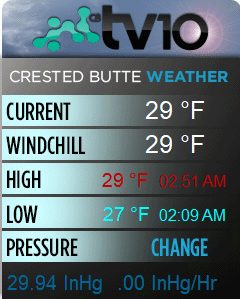
QUICK CONDITIONS
Featured Partner
